LiDAR-based existing conditions surveys for architects, designers, builders, and property teams
Accurate existing conditions provide a reliable foundation for renovation and addition projects. LiDAR-based field documentation can include point clouds, Revit models, and drawing packages tailored to the needs of architects, designers, builders, and property teams throughout Steamboat Springs, the Vail Valley, Summit County, and surrounding mountain communities.
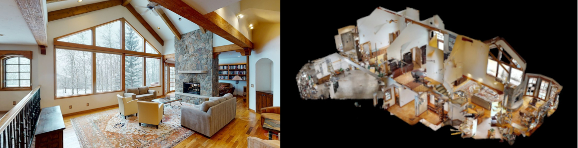
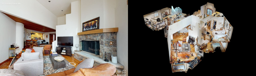
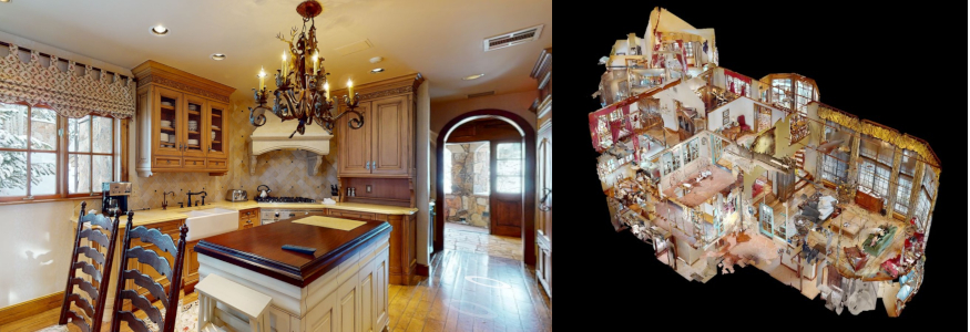
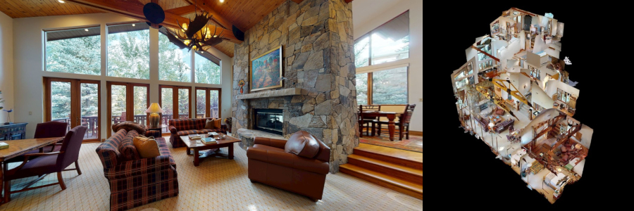
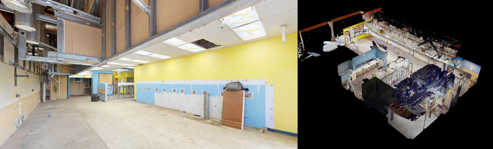
Using Matterport Pro3 LiDAR scanning, we capture buildings and adjacent grade conditions, then translate field data into point clouds, Revit models, and drawing packages developed around the needs of the project team.
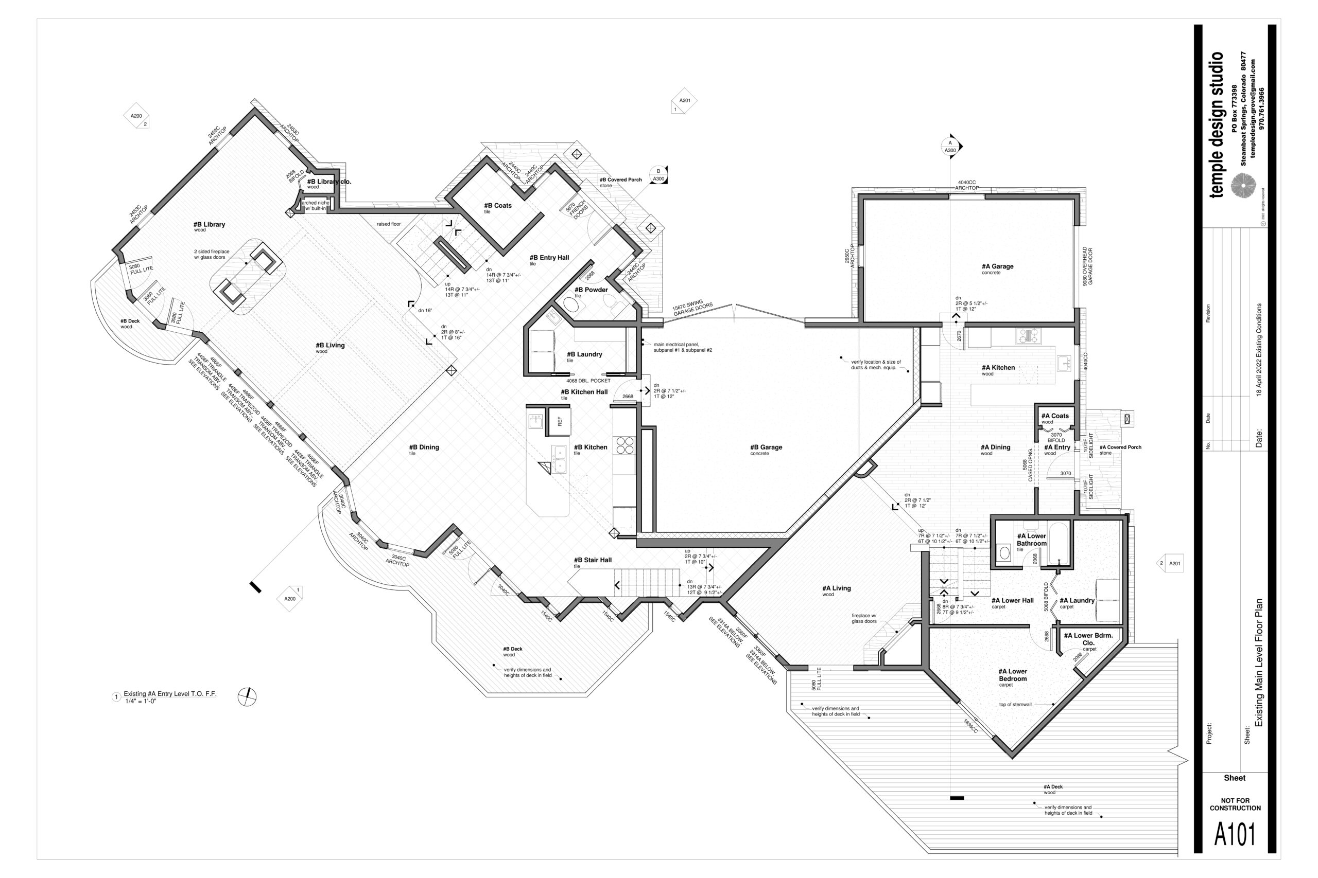
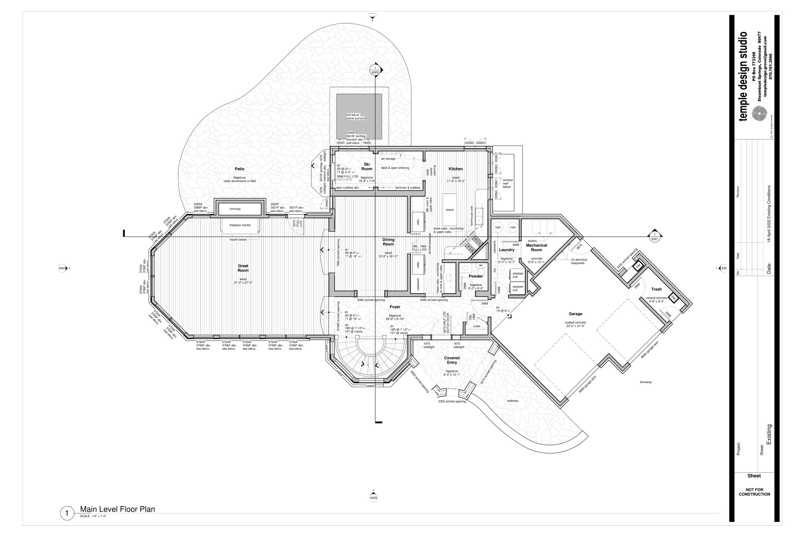
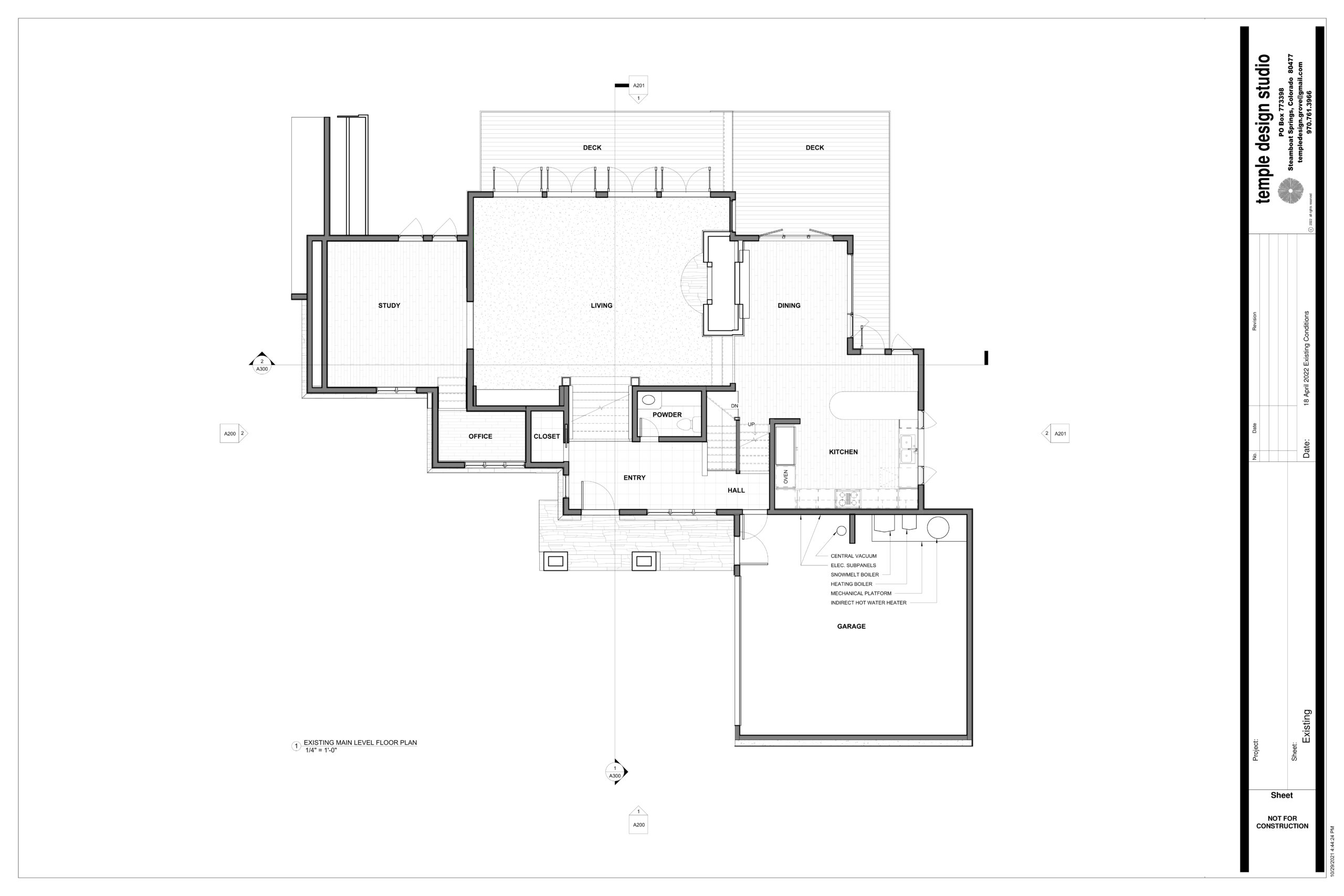
vail potato patch residence floor plan
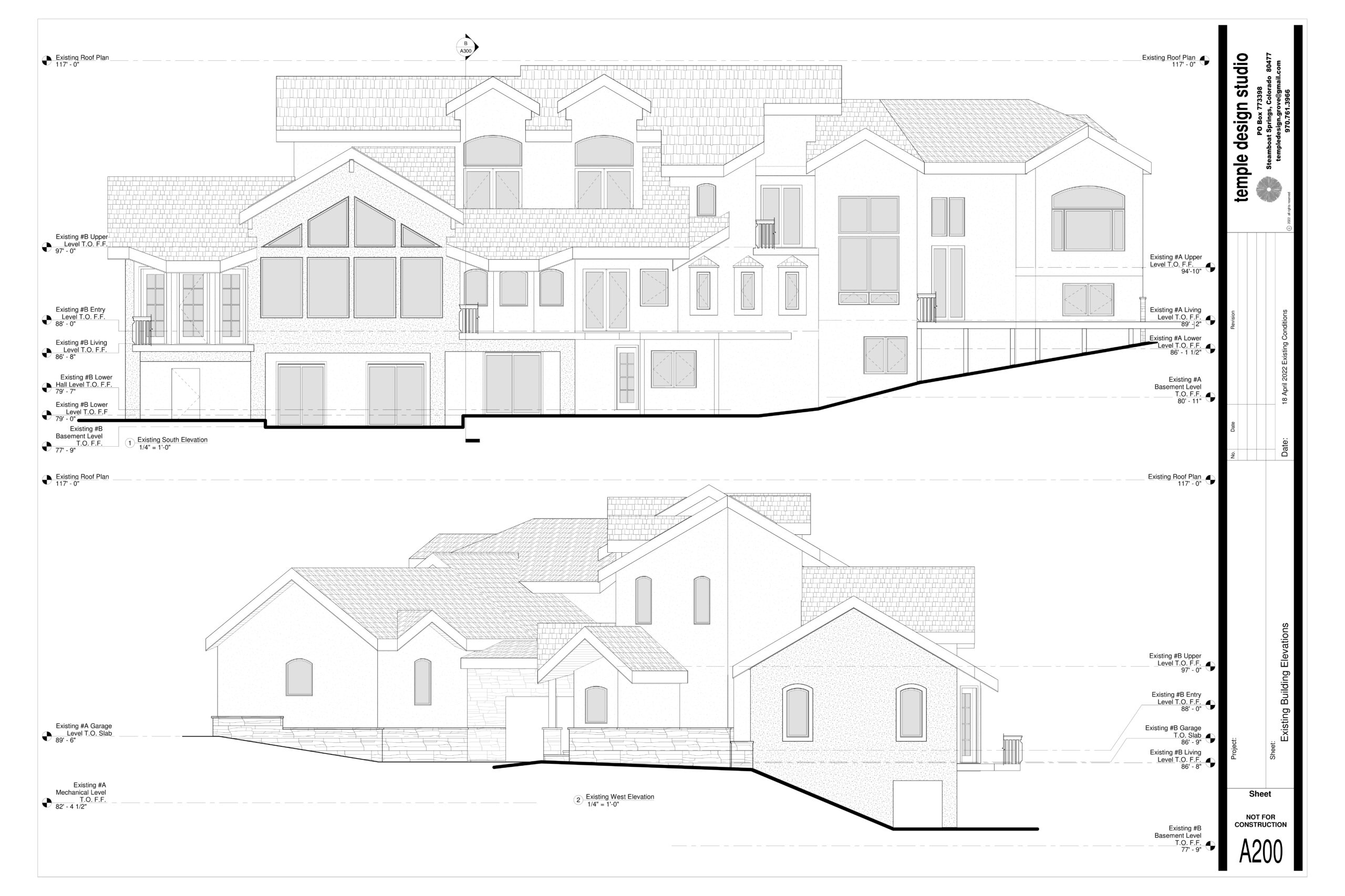
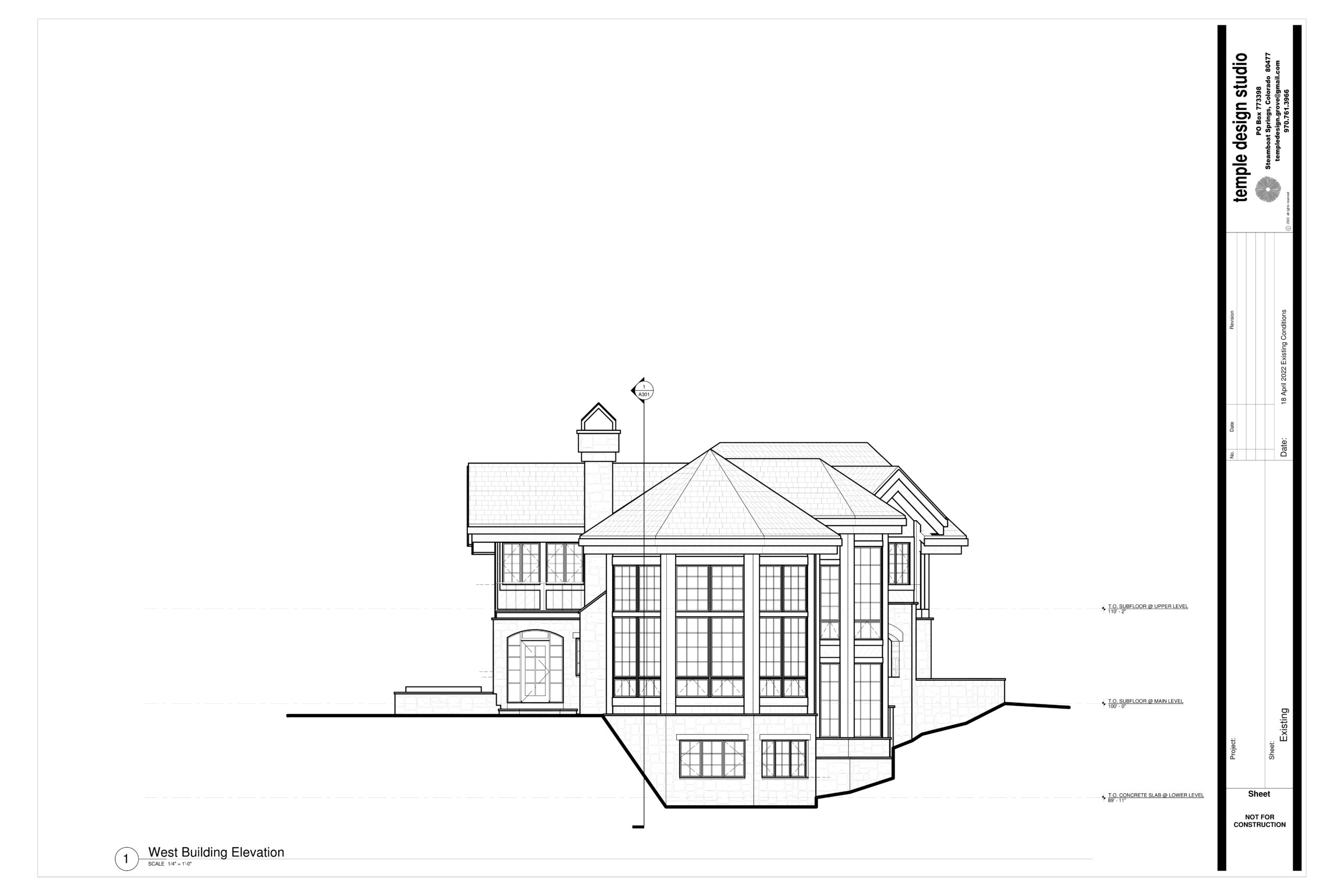
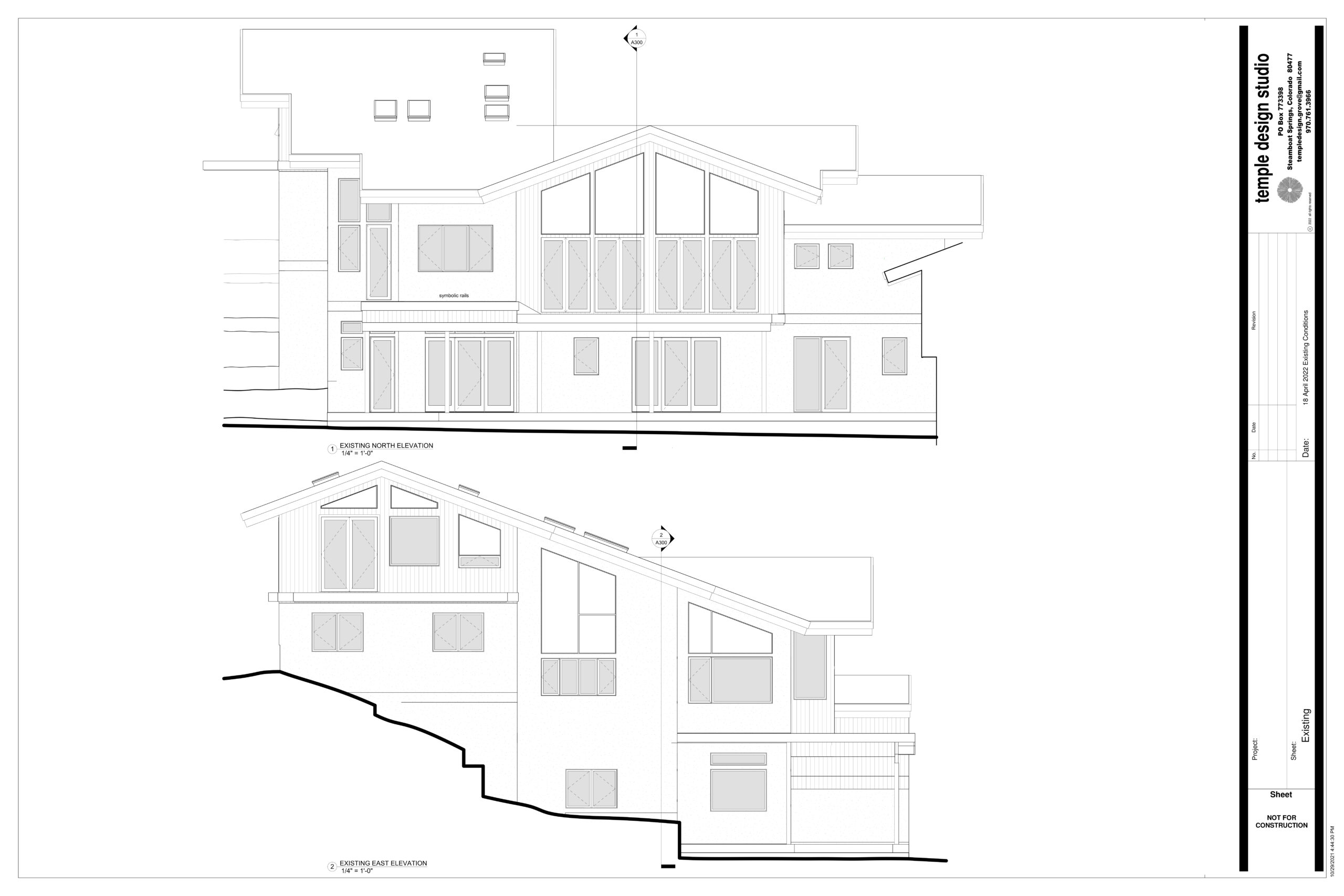
vail potato patch residence building elevations
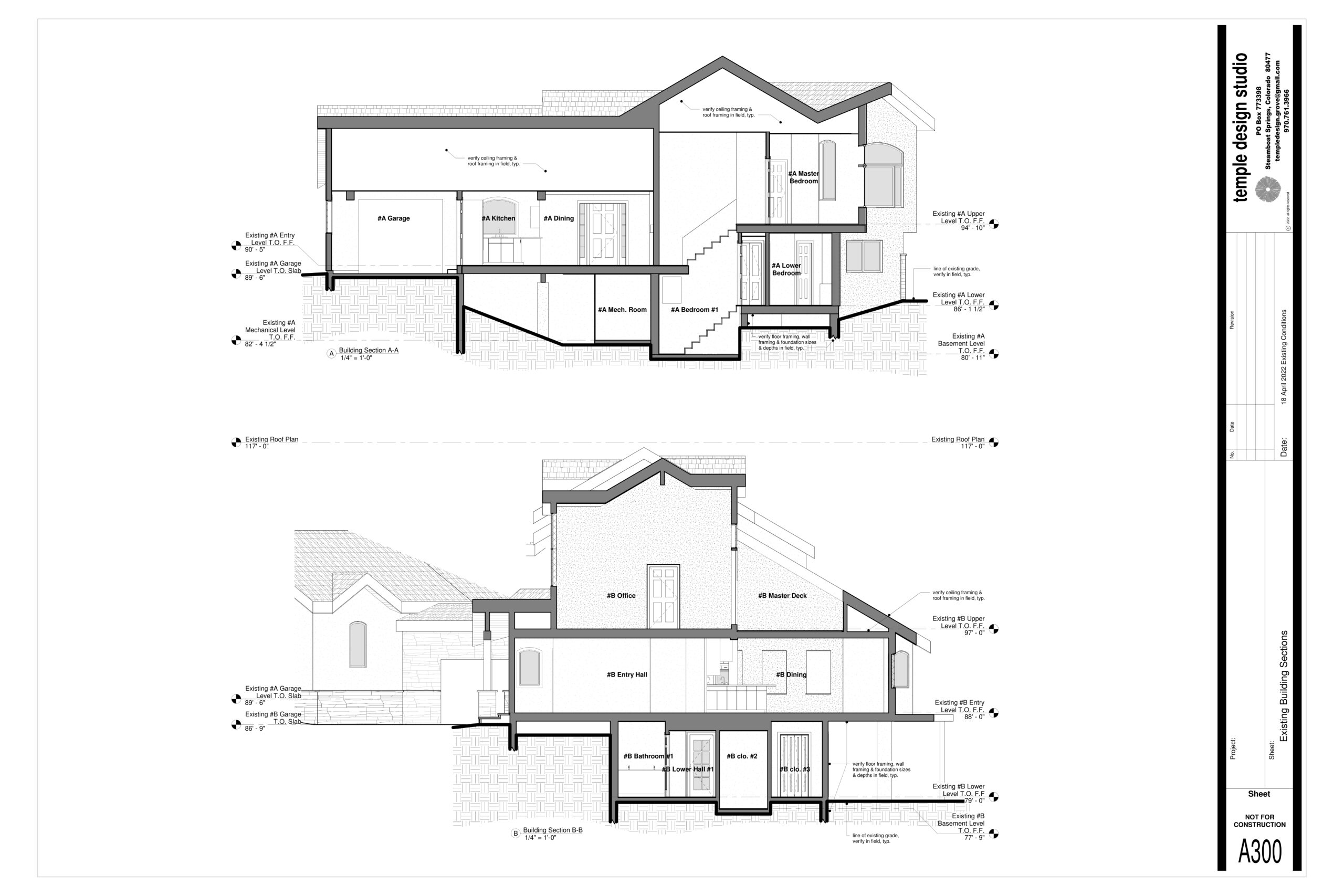
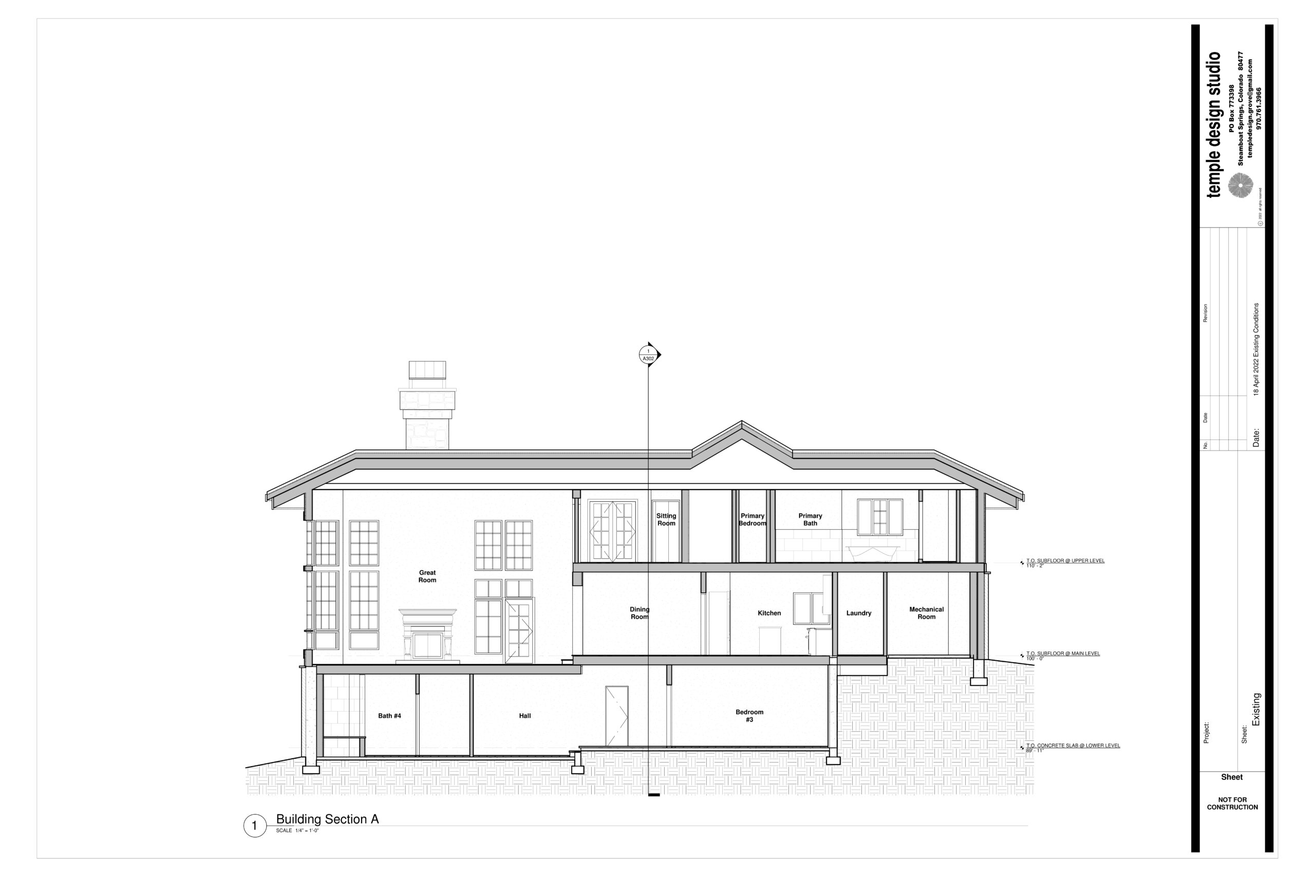
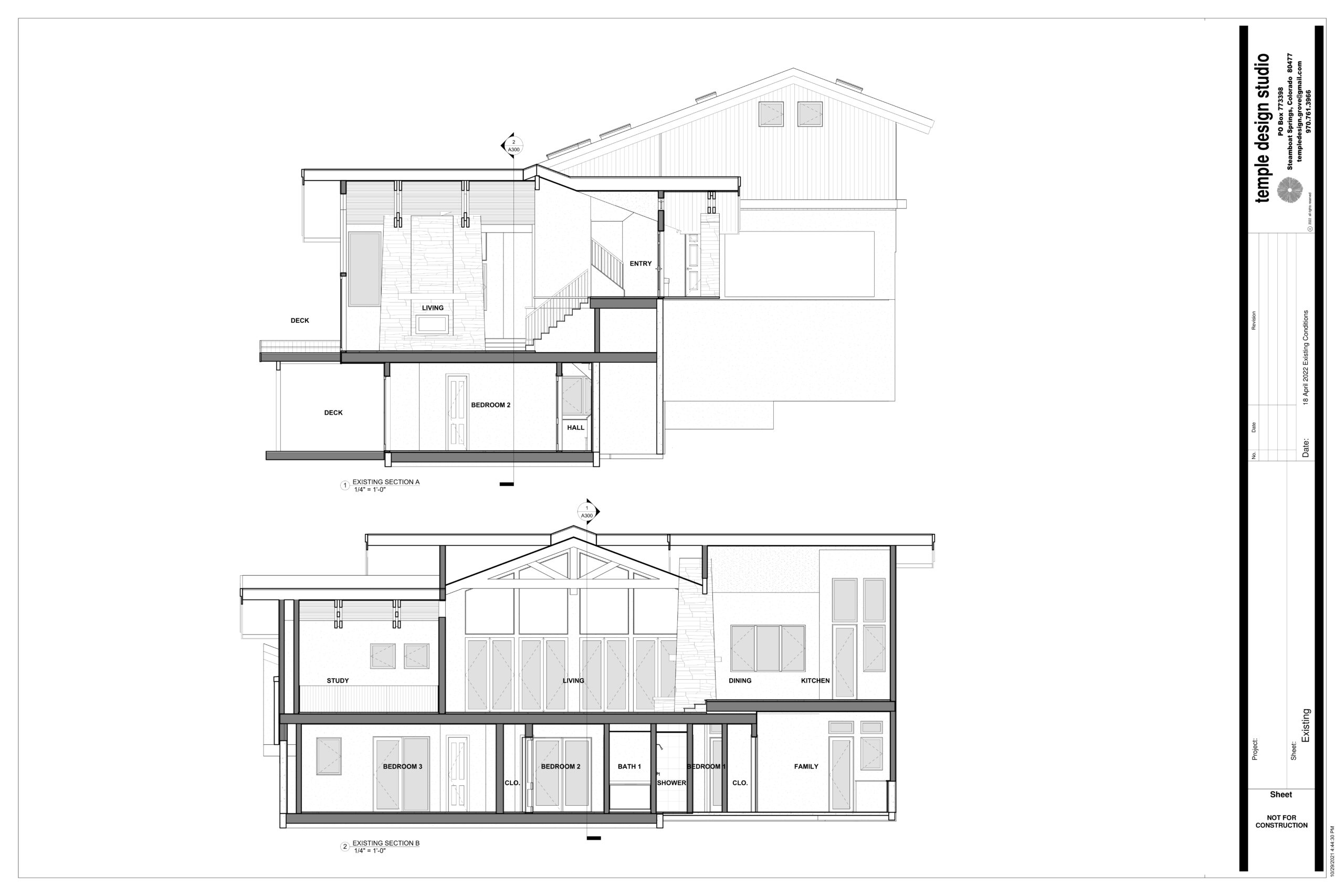
vail potato patch residence building sections
Vail Potato Patch Residence · 3,100 SF
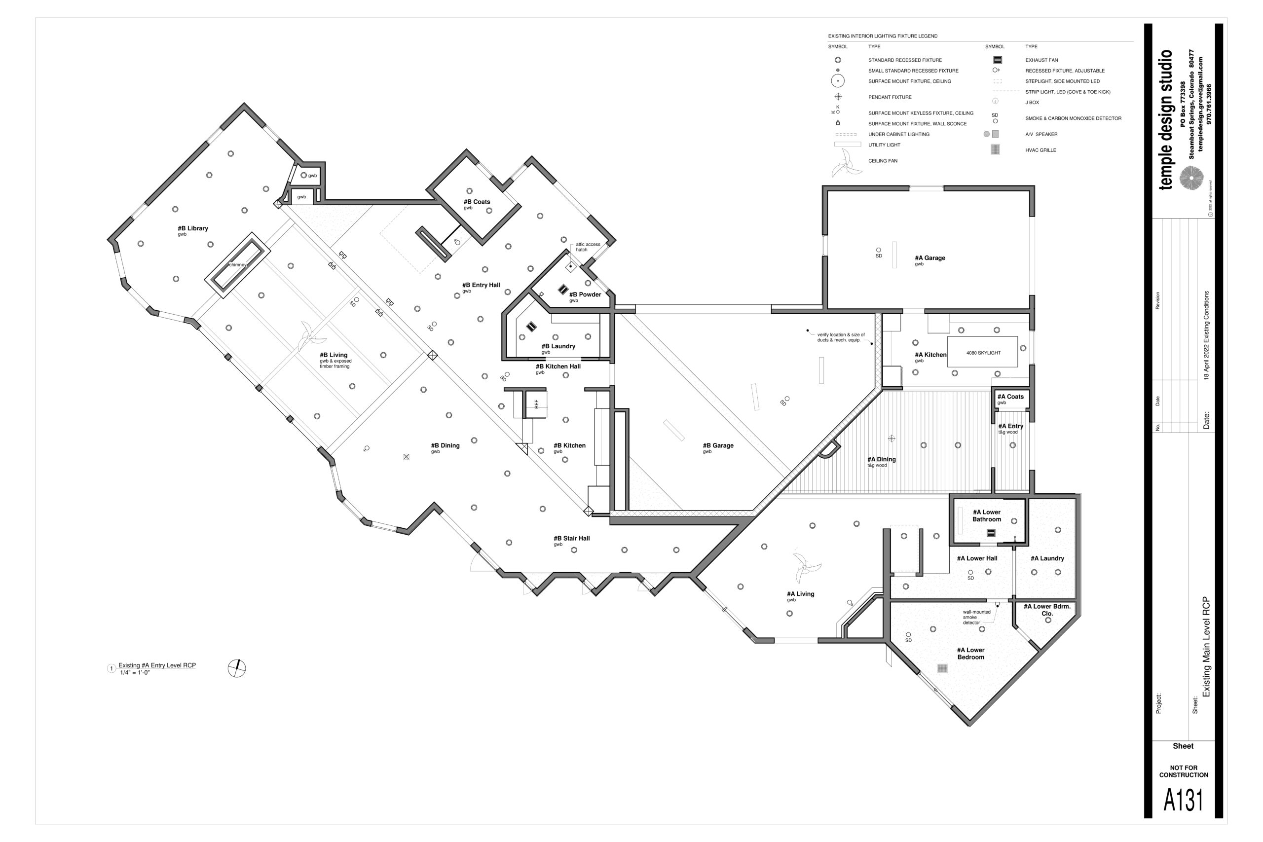
potato patch duplex reflected ceiling plan
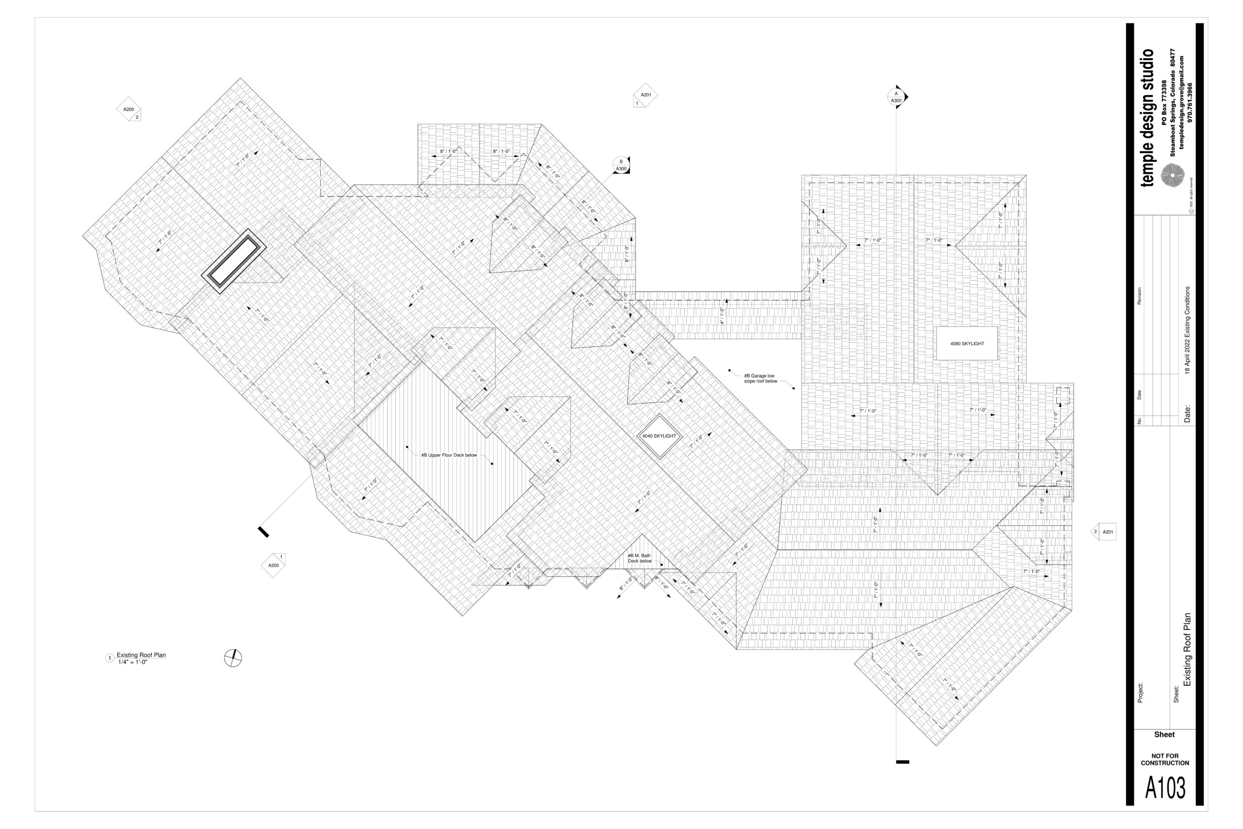
potato patch duplex roof plan
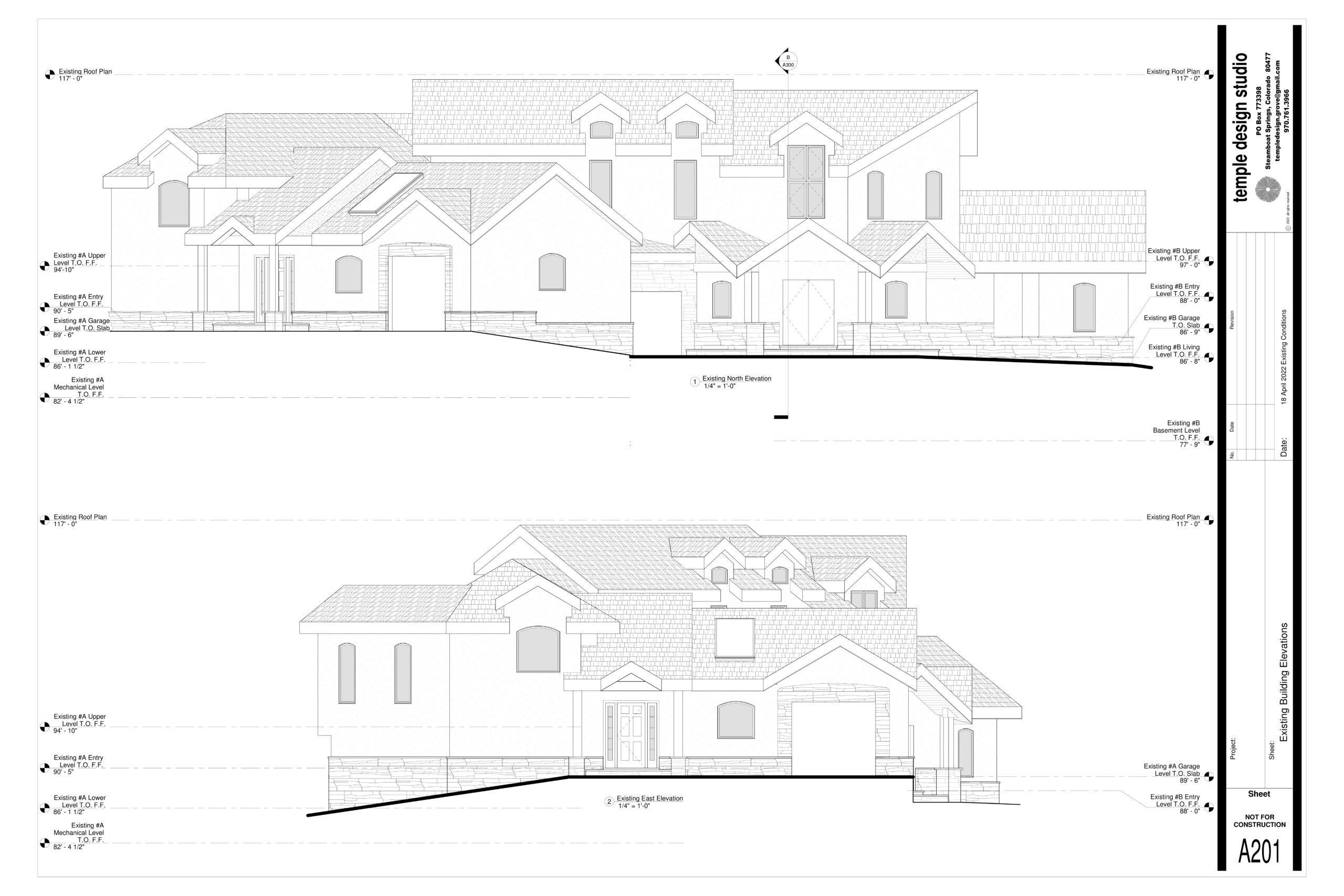
potato patch duplex building elevations
Vail Potato Patch Duplex · 3,500 SF
eagle county residence floor plan
eagle county residence building elevation
eagle county residence building section
Eagle County Slopeside Residence · 5,400 SF
vail mountainside residence floor plan
vail mountainside residence building elevations
vail mountainside residence building section
Vail Mountainside Residence · 3,800 SF
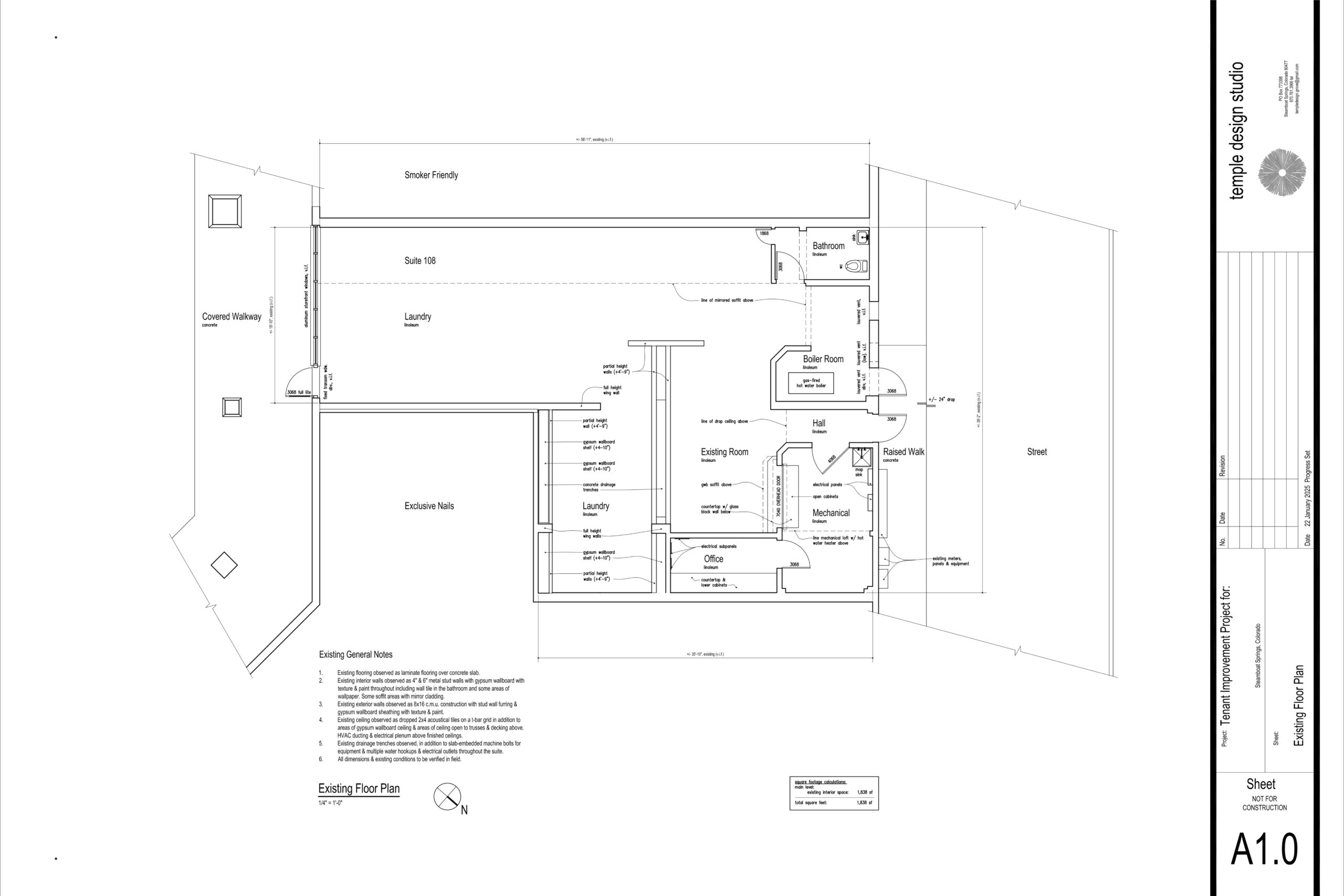
steamboat tenant improvement floor plan
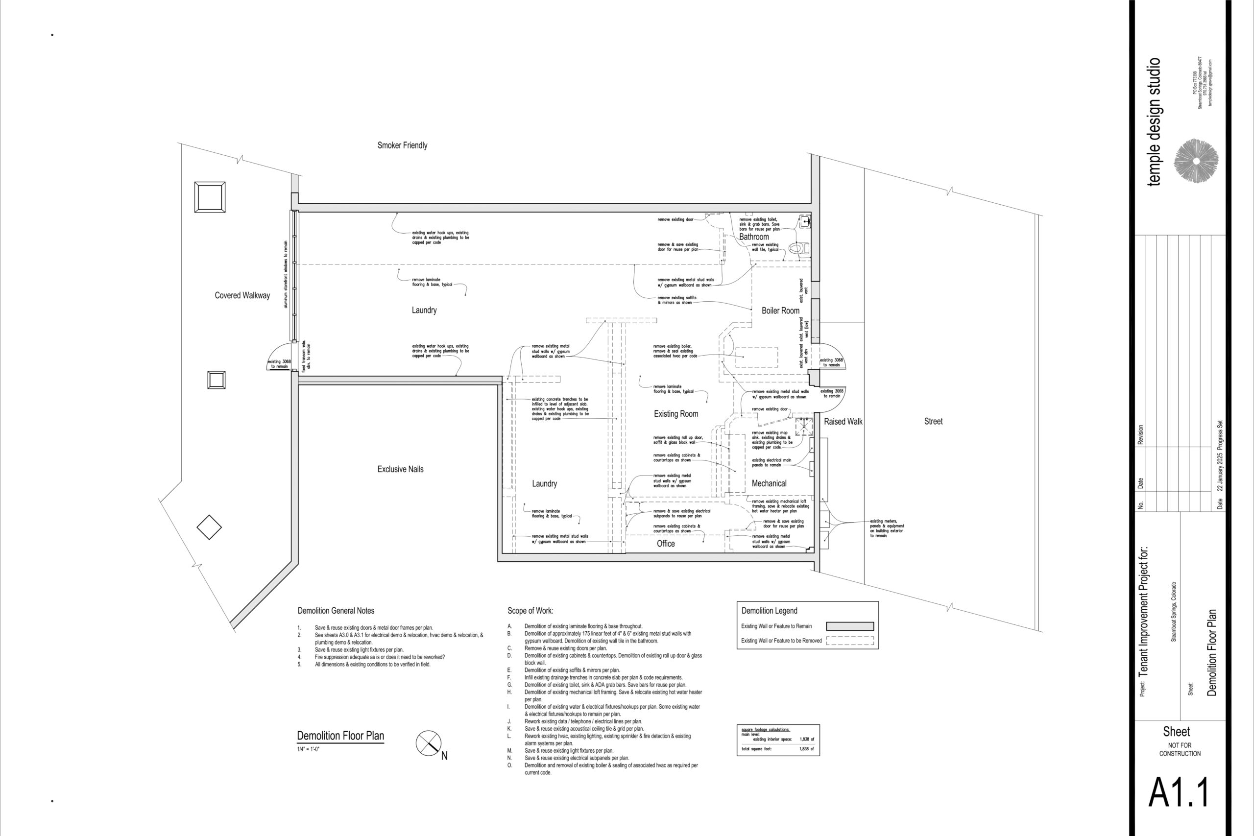
steamboat tenant improvement demolition plan
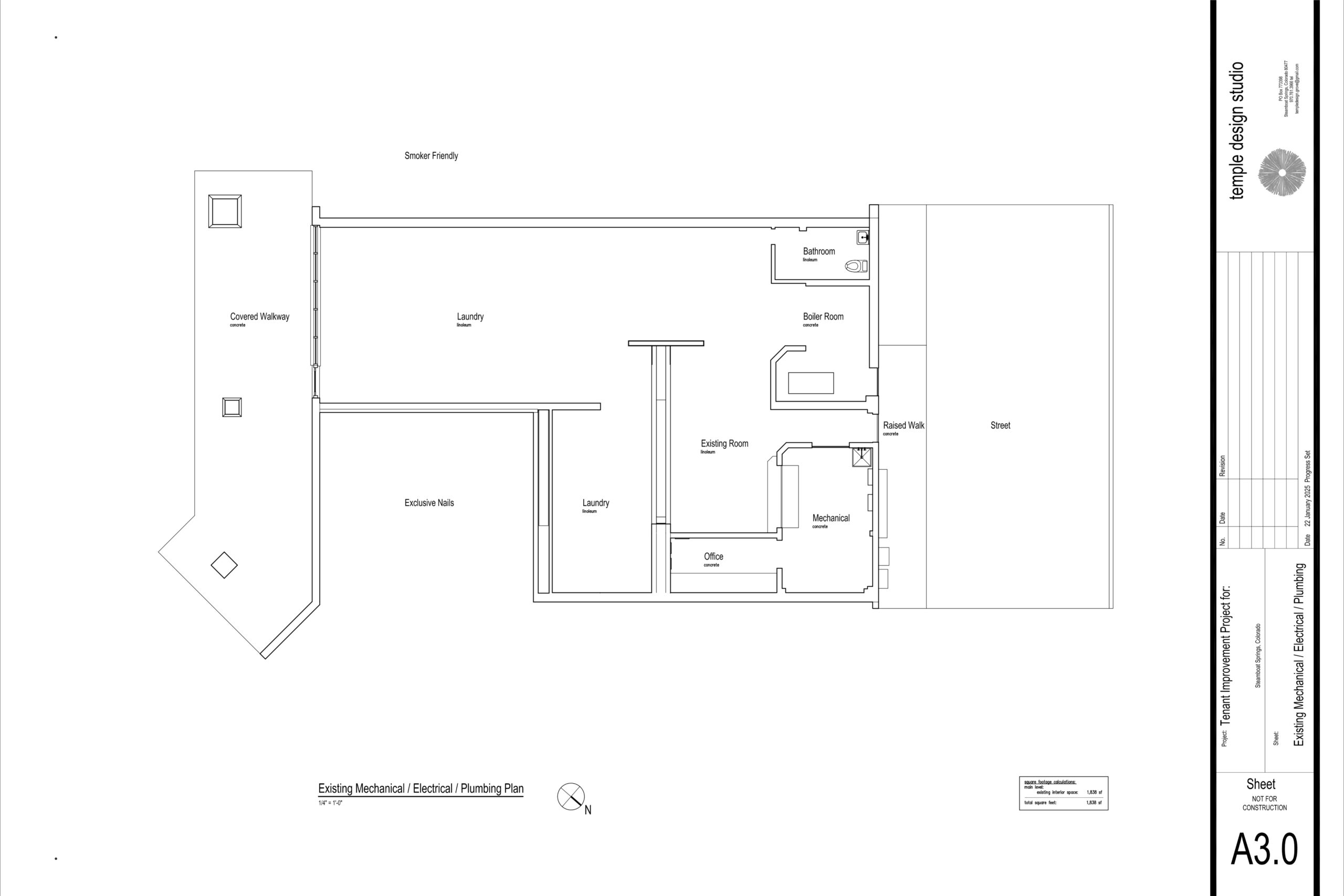
steamboat tenant improvement mep
Steamboat Springs Tenant Improvement · 1,800 SF
Need an Existing Building Documented?
Tell us what needs to be captured, where the project is, and what your team needs delivered.