
Sacred Site LiDAR Scanning + Documentation
3D field documentation for ancient, remote, and extraordinary places
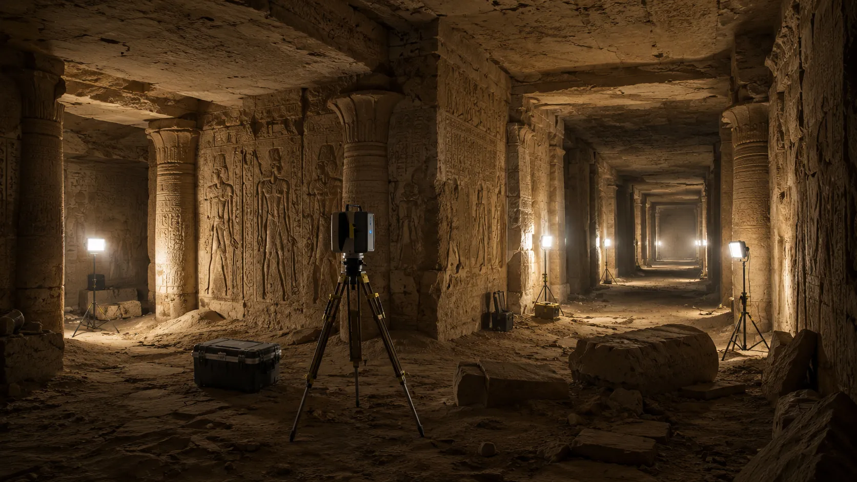
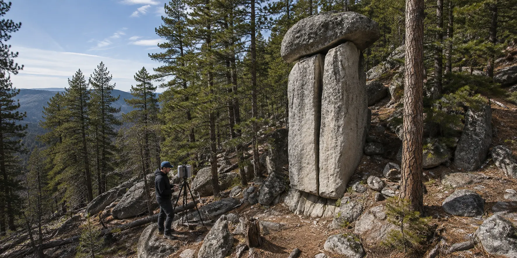
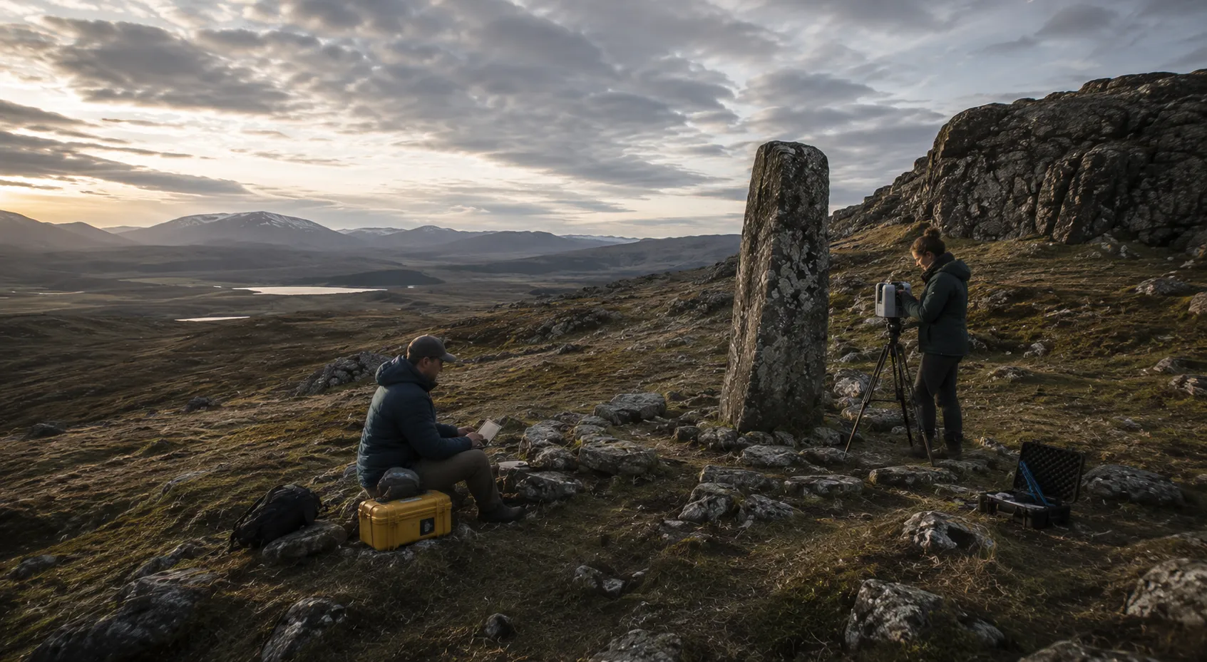
LiDAR and 3D scanning can create a precise digital record of places that are difficult to measure, document, or fully understand through conventional means. Field-based 3D documentation is available for research, preservation, and expedition teams working with ancient, sacred, megalithic, remote, and other exceptional sites.
The resulting spatial record can preserve geometry, surface conditions, and relationships between features in a form that can be revisited long after fieldwork is complete. Point clouds and 3D models can support ongoing study, comparative analysis, preservation efforts, remote collaboration, and future documentation of change over time.
Built for work beyond the field
A well-documented site can continue to reveal information after the expedition has ended. Accurate spatial data gives researchers a permanent reference for studying relationships between features, sharing findings across teams, revisiting observations remotely, and comparing the site as new questions emerge.
What we bring to a field team
Precise spatial capture
LiDAR and 3D scanning record measurable geometry, surface conditions, and spatial relationships with a level of detail that can be difficult to achieve through conventional field documentation alone.
Field-ready documentation
Capture can be coordinated around the realities of fieldwork, with documentation organized for clear handoff to researchers, preservation teams, designers, and other project collaborators.
A record that endures
The resulting digital record can be revisited long after a field campaign ends, supporting future study, comparison, preservation planning, and documentation of change over time.
What the team receives
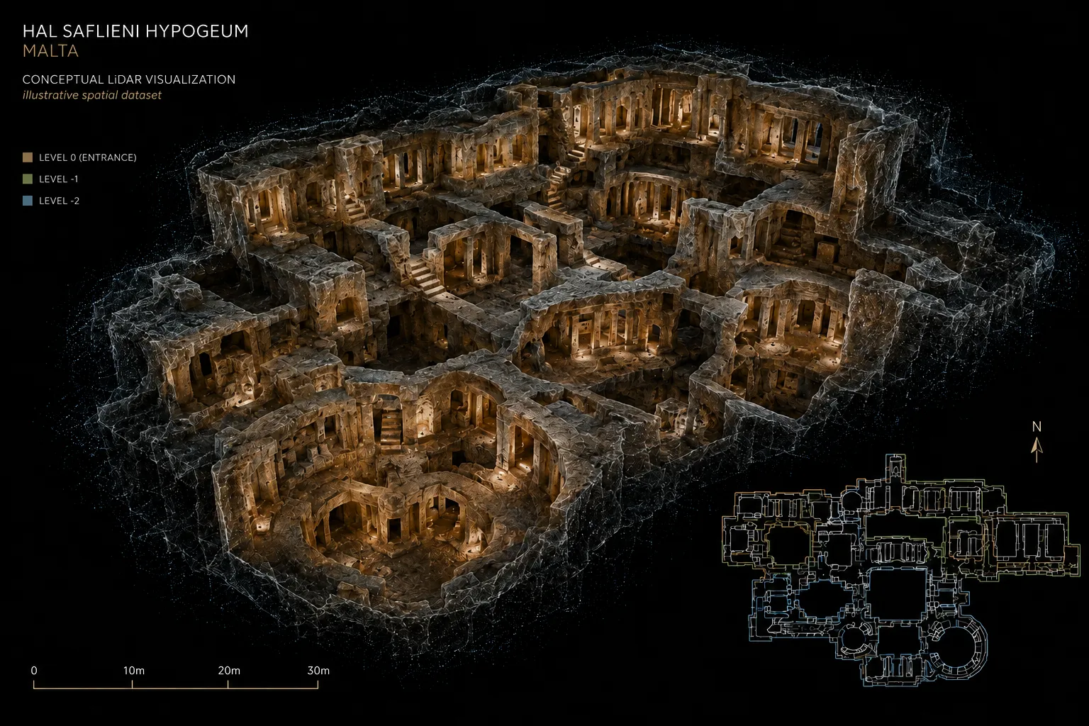
Deliverables are tailored to the needs of the project and can include .E57 and .XYZ point-cloud datasets, interactive 3D documentation, imagery, spatial reference material, and other digital files useful for research, preservation, collaboration, and future study.
Point-cloud data
.E57 and .XYZ point-cloud datasets for spatial analysis, documentation, and downstream research workflows.
Interactive 3D documentation
Navigable 3D site documentation for remote review, team collaboration, spatial reference, and continued study after fieldwork is complete.
Visual + spatial reference
Site imagery and supporting spatial documentation organized for future reference, comparison, preservation planning, and research use.
Planning fieldwork or documenting a site?
Field-based 3D documentation is available for research, preservation, and expedition teams, tailored to the site, the questions being asked, and the realities of the field campaign.
Available for fieldwork wherever the project leads
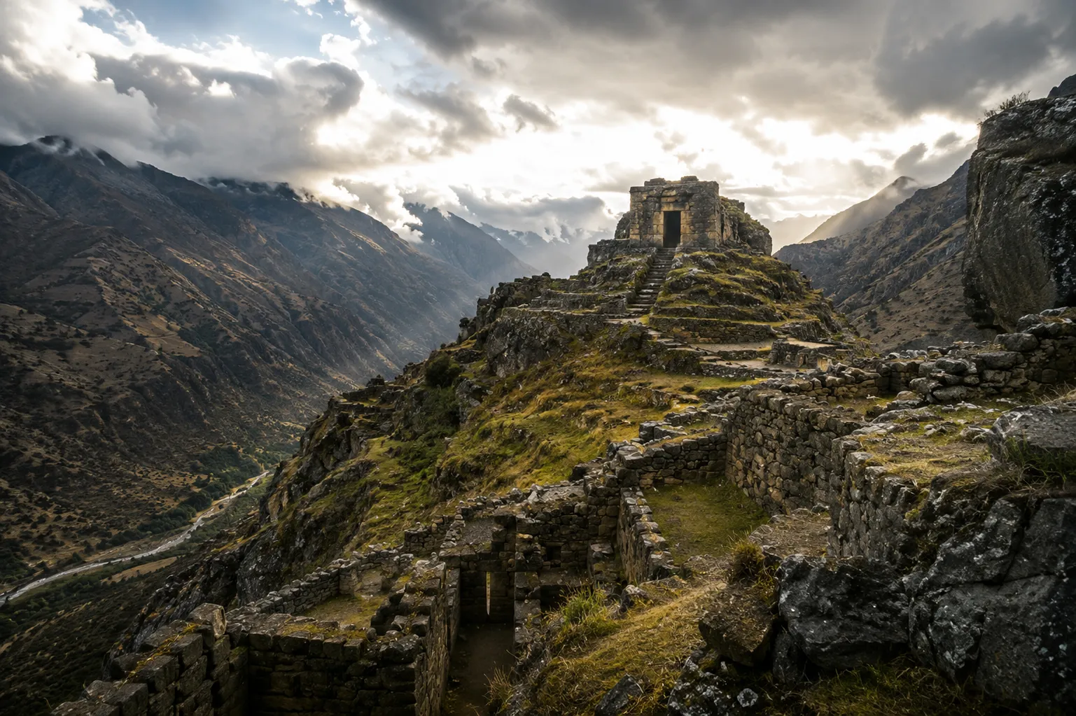
Projects can be coordinated around expedition schedules, remote locations, travel requirements, and the practical constraints of fieldwork.
Selected imagery on this page is conceptual and illustrates potential applications of LiDAR and 3D documentation.